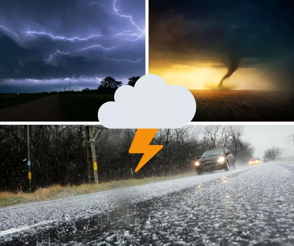
Get Ready For a Frigid and Snowy One-Two Punch In Central New York
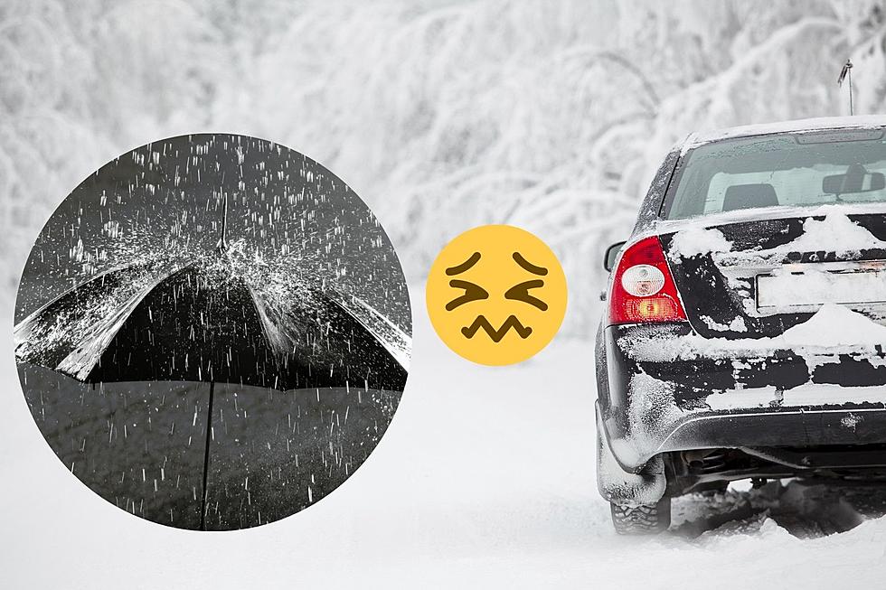
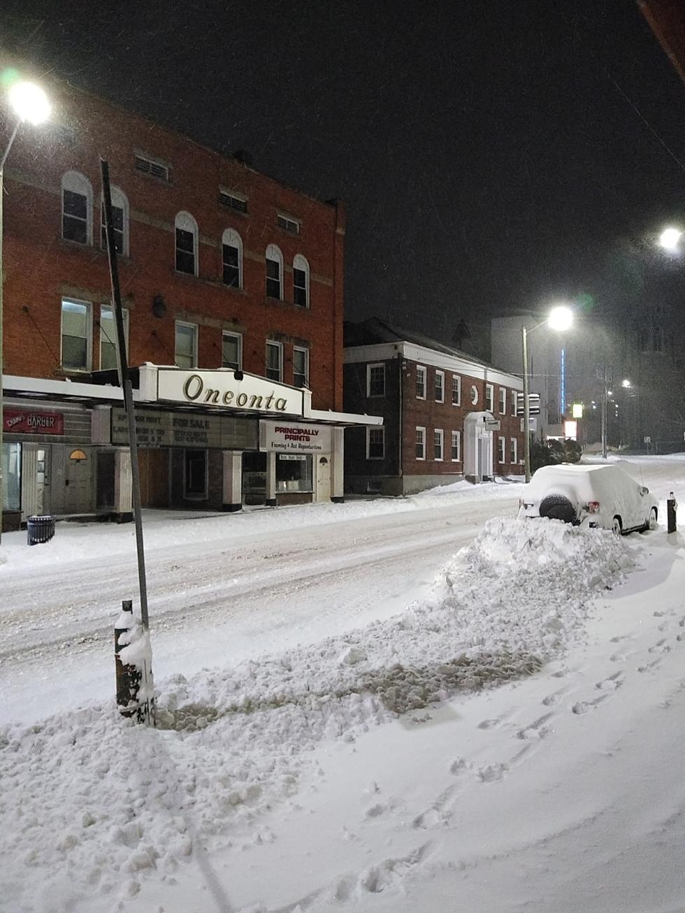
UPDATE 1/16: The National Weather Service in Binghamton has issued a WINTER WEATHER ADVISORY from 5:00 pm tonight until 5:00 pm Monday with a mixture of precipitation expected. 3 to 6 inches of snow is expected with an icy glaze due to windy conditions. That means roads are expected to be icy making travel potentially dangerous.
-----------------------------------
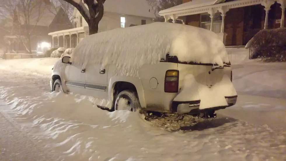
UPDATE 1/15: The National Weather Service In Binghamton says that The WIND CHILL WARNING will remain in effect until 1:00 pm today with a WINTER STORM WATCH going into effect from tomorrow at 5:00 pm through Monday afternoon. The NWS is predicting 7 or more inches of snow for Chenango, Delaware, and Otsego Counties.
----------------------------------
Posted 1/14/22:
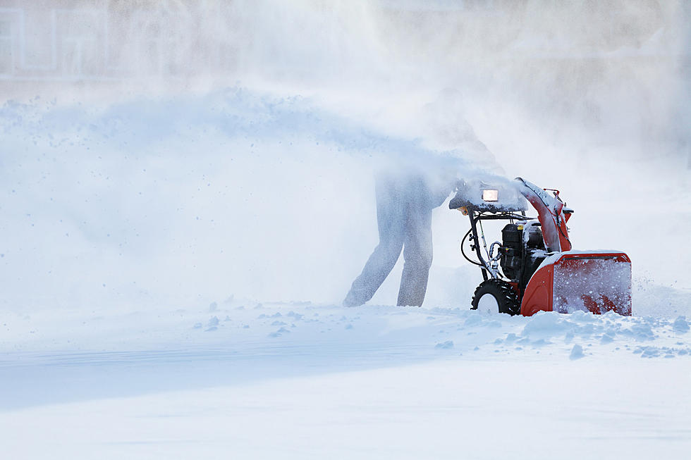
A potentially big storm system is headed our way from the Southeast, making its way northward with snow, ice, and rain according to AccuWeather. The storm system originated in Canada and has quite the scary name - the "Saskatchewan screamer". That name certainly suggests we could really be in for a big one, but it remains to be seen in Chenango, Delaware, and Otsego Counties according to the National Weather Service in Binghamton (NWS).
The storm system is being tracked by the weather service and all the meteorologists are currently saying is that "a strong system will impact the region Sunday night into
Monday. It is too far out for potential impacts at this time".
Considering that NWS is not predicting an amount of snow at this time, it's best to prepare and plan ahead for heavy snowfall and the possibility of ice. We have certainly seen our share of rain this winter season with temperatures shifting from warm to cold and back again. That means have ice melt on hand and make sure you are set with groceries, batteries for flashlights, and anything else you may need, just in case there's a power outage.

Also be aware that the NWS has issued a Wind Chill Warning for Delaware, Otsego, and Sullivan Counties that will run from 7:00 pm tonight until 1:00 pm tomorrow. Wind chill warnings indicate dangerous temperatures to be out in, in this case, "Wind chills as low as 25 below zero". The danger is that with temperatures that cold, frostbite is a real risk. The NWS warns that frostbite can occur with exposed skin in as little as 30 minutes in such cold weather. That means if you must go out, dress appropriately and limit your time outdoors. Also, keep in mind that pets should also not be left outside in dangerously cold temperatures.
For more information on signs of frostbite and prevention visit www.mayoclinic.org.
TIPS: Here's how you can prepare for power outages
LOOK: The most expensive weather and climate disasters in recent decades
Gallery Credit: KATELYN LEBOFF
More From Mix 103.9